Creswick Cemetery – report

Just a quick blog post this time, but it’s accompanied by a lengthy survey report, which – I am sure – more than makes up for this post’s brevity.

Before I go on: Happy Easter to everyone. I hope you all stay safe and enjoy the long weekend (or holiday, for those lucky enough to get more than the weekend off!).

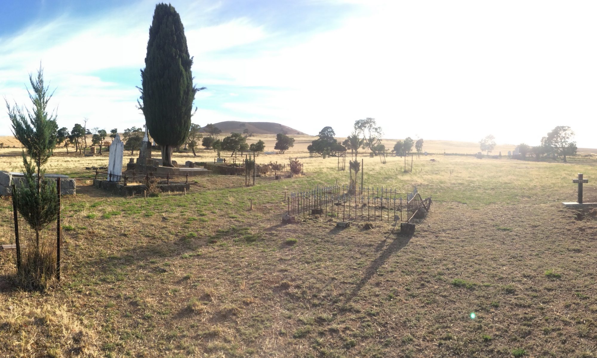
I have uploaded a copy of the report I wrote for our geophysical survey at the Creswick Cemetery. The survey, of course, sought to detect any unmarked graves in the Cemetery. Ground-penetrating radar (GPR), magnetic gradiometry, electrical resistivity, frequency domain electromagnetics (EM or FDEM) – specifically, ground electrical conductivity – and aerial photograph analyses were thrown at this site and have revealed a great deal of information not only regarding the unmarked graves present, but also of the former Sexton’s cottage and natural soil processes, as well as old geological features such as palaeochannels.

This was a very interesting survey and has yielded some fantastic results. We have also learned a great deal regarding the applicability of various geophysical techniques to the detection of specific types of buried features.

The full report can be downloaded from our website. Note that it is a thirty megabyte file, so it may take some time to download.


Best wishes to all for Easter.

David

Update: fixed report download link – sorry about that!

New cemetery services

This month we introduce a new package to our cemetery services: GRAVE HUNTER.

Designed with cemeteries in mind, GRAVE HUNTER is our premiere, fully-integrated electronic cemetery mapping and interment register.

GRAVE HUNTER provides two major capabilities in a reliable, reproducible, and (if desired) publicly accessible electronic format:

  1. Hunter Geophysics surveys a cemetery, taking photographs of every headstone and recording the location of each headstone, generating a map of each headstone. Photographs of each headstone are also accessible via the map (simply by clicking on a grave on the map and selecting to view the photograph).
  2. Details about each burial (such as the individual’s name, date of birth, date of death and any other details found on the headstone) are entered into the map and become an interment register. This register can then be searched electronically, allowing members of the public and cemetery administrators to easily locate a particular person’s grave, or (for example) all burials of those who died in a particular year.

GRAVE HUNTER is, of course, complimented by the proven unmarked grave detection service that Hunter Geophysics provides.

For further details, please see the GRAVE HUNTER page (includes a free demonstration version of GRAVE HUNTER) and the unmarked grave detection page.

Hello, again, world!

Welcome to the fifth incarnation of the Hunter Geophysics website.

I am hoping that this layout will be around for years to come. This new website is powered by WordPress (the blogging software), so allows quick editing of the website. The main reason for changing the website yet again was because it used to take a day of coding just to change one page. Further, the layout and colour scheme were simply terrible in previous designs.

Anyway, the photograph above each page is of the Tilba District Cemetery, on the southern New South Wales coast (update 3rd April 2016: the photo has since been changed to a photo of the back of our car…)(update 20th April 2019: now it’s a photo of the Smeaton Cemetery in Victoria). Hunter Geophysics were there last week (on the way home from our survey at the nearby Wallaga Lake Aboriginal Cemetery) to inspect the site ahead of a possible survey – here’s hoping that gets approved! (update 3rd April 2016: we didn’t end up getting that gig…). As the Cemetery Secretary said when we were on site, it’s nothing short of paradise.

Speaking of our survey at Wallaga Lake, the attached image shows a towed GPR system comprised of sixteen ground-penetrating radar channels. This allows the collection of sixteen lines of data simultaneously (so surveys are effectively sixteen times faster than with standard single-channel cart-based systems). Brilliant!

David Staveley, author of the geophysics processing freeware ‘Snuffler’, has requested that I make a blog post about ground-penetrating radar and the processing of GPR data, so that’s what is up next in this new blog. But feel free to leave any specific questions or ideas for future posts in the comments section.

Take care,

Dave “the grave” Hunter