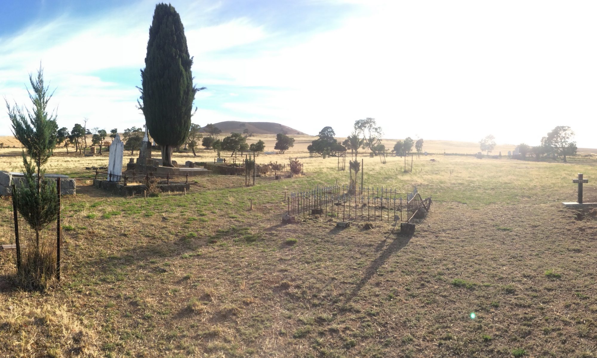
Using either the Topcon Imaging Station (which doubles as a robotic total station) or the Faro Focus 3D Laser Scanner (depending on the requirements of the job), Hunter Geophysics can create three-dimensional, full-colour digital models of any physical object, be it a heritage structure, a landscape, a cemetery yard, or just areas of public interest.
Three-dimensional models can then be made publicly accessible via an online interface (i.e. a web browser) or sold on a CD, allowing members of the public to virtually walk through heritage structures.
Using a single laser and automated digital camera, the system records every measurement of an object, making 3D laser scanning an excellent survey method, with five-millimetre-precision. This makes these systems ideal for recording as-built structures.
Video examples
Have a look at this video from Faro showing what you can expect as the results of a laser scan using either of these devices.
Hunter Geophysics delivers these capabilities. Contact us for further details.